Monday, August 31, 2015

More Jeep Adventures.....


Bandana Cowl
It's another Monday so I did laundry this morning, knitting in between loads.  I finished a Bandana Cowl which turned out quite nice.  Also worked on my striped Poncho...I found a mistake and had to rip out about 3 or 4 inches but caught back up and added another inch or two on the ride down here.  There are a total of 48 inches once you get passed the ribbing....I just finished 28 inches so still have a long way to go.
 
Jeep Trail to Gemini Bridges
After lunch, we took off on another Jeep adventure.  This one was to Gemini Bridges, a 13.4 mile trek rated easy.  The first part of the trail was up a steep incline over a very rocky shelf road.  Along the way, we passed Gooney Bird Rock and one that I named Wren Rock. The scenery was nice most of the trip but I think I like the Colorado mountains better.
 
On the way to Gemini Bridges, we passed Arches National Park, only one mile from our campground.
Arches National Park


Gemini Bridges Trail


Gooney Bird Rock


Wren Rock


The view improved once we arrived at the Gemini Bridges, which is about at the halfway point.  The bridges are a pair of massive natural rocks with spectacular views of the canyon below.  We didn't get too close as we were wearing sandals....bummer.
George on Gemini Bridges
 

Gemini Bridges


Cairns (aka trail markers)


Stormy Weather
Storm brewing in the background so time to head home.  Once home, I fixed a stir-fry for dinner then we relaxed the rest of the evening.  Ahhh, another wonderful  day!

Sunday, August 30, 2015

Hubby's Bad Day...

Well, it was bound to happen sometime....."we" banged up the RV a bit.  After checking into Portal RV Resort in Moab, Utah, George was to follow me to the site but, for some reason, he took a different road and ended up on a boulder.  Yep, a boulder!  He cut a corner a little too short and somehow ended up on a boulder.  Fortunately, the only damage was to a basement door, door insert and flooring.  Bless his heart.....he feels awful about it and I feel bad for him.  First time he has asked me for a shot of whiskey!
 
Rut Row


After all that, he ended up with a huge scrape on his leg....poor baby.  I've now confined him to the couch until bedtime.


Up until then, we had a beautiful drive from Montrose, CO to Moab, UT.  Here are a few pictures:
 

Colorado River


Saturday, August 29, 2015

Jeep adventures are underrated...

"Necessary" Bag
It's Saturday and our first real JEEP adventure begins...the one in Canon City was just a preview to the real thing.  George purchased several Guide Books before leaving home which are mandatory for rookies like us.  So, since he is the driver, I get to be the navigator - YIPPEE! 

In the guide book, Jeep trails are rated Paved, Unpaved, Easy, Moderate, Difficult and More Trails.

I packed a few "necessities" and we were on our way!


Our first Trail is Last Dollar Road in the Uncompahgre National Forest.  It's 20.8 miles long, rated easy and the elevation is 10,600 feet.  Easy means rutted dirt roads and driving through a small creek and, by all accounts, it was very accurate.  The scenery was spectacular and there were thousands of beautiful birch trees and fields of wildflowers.  We came across multitudes of ranches, a cowboy and cowgirl out riding horses with their dog tagging along.  This 20.8 mile trail took us an hour and a half to complete and we ended up in Telluride.

Heath Ranch

Wildflowers


Downtown Telluride


There was a "techno-music fest"going on in Telluride and absolutely no place to park so we just drove through town and back then headed on our way.
 
Beautiful town but a bit touristy.....
Telluride, CO


Ophir Pass, Moderate Shelf Road
From there, it was a short drive to our next Trail, Ophir Pass in the San Juan and Uncompahgre NF.  This trail is rates half easy and half moderate.  The moderate part was the drive up the Pass and consisted of a narrow, rocky shelf road which dropped straight down on the right side...it  was a nail biter at times, but we saw the BEST scenery on this trail.  The most spectacular mountain views I've ever seen.  This trail is 9.9 miles long and took us about 45 minutes and a trip to the bathroom!


Ophir Pass Shelf Road - YIKES!


Ophir Pass, Moderate

The Top of Ophir Pass


Orange Mountains

View from the top of Ophir Pass


High Noon Hamburgers
The trail ended near Silverton and we stopped for lunch at High Noon Hamburgers and that much needed bathroom break.  Silverton is a smaller town than we expected and is a rustic, cowboy town.  Only the main road through town is paved, otherwise, the roads are gravel.  You really get the feeling that you are in the old west.

Stagecoach ride thru Silverton


"Chemical" Creek


We were very close to the area where the recent mining accident occurred.  The River is clear but the chemicals were evident in the Valley where the land is flat and the water has settled.


Avalanche/Snow Shelter

After our Big Adventure, we headed home through Ouray.  More spectacular scenery and an avalanche/snow shelter.  We also saw a deer in the road drinking from a puddle. Ouray is another wonderful little western town and we spied several campgrounds in the area....maybe we'll stay here next time.


Deer in the Headlights


Ouray, CO


Ouray Brewery


Friday, August 28, 2015

The Devil's Thumb

Devil's Thumb GC
George's schedule is crazy.  He is trying to work EST hours so he is getting up at 4:00 AM and is finished by 12:00 or 1:00.  Then, of course, he collapses on the couch in the early evening...bless his heart. 
 
Anyway, we went golfing this afternoon at Devil's Thumb GC in Delta, CO about 40 minutes away.  It's an absolutely gorgeous course out in the middle of nowhere.  Very challenging course and, sometimes, it was just a wild guess as to where to hit the ball and how to get to the next tee box.
 
George played from the Blue Tees stretching 6,190 yards (67.6 course rating/122 slope rating) and I played from the Green Tees with a hefty 5,180 yards (68.9 course rating/120 slope rating).  After we got going, I discovered that there were Red Tees but no course rating so I stuck with the Green Tees and struggled to finish toward the end of the round.  Some of the holes were also very mountainous. 
 
 
Frank, a local player, caught up with us on #7 so we asked him to join us.  Thank goodness!  Someone to guide us around the course.  Frank was also very entertaining and we had a blast with him.  George had a birdie on a hole that had split fairways, one of the most challenging holes on the golf course.  One fairway went straight down and one straight out.  George took the low road and Frank and I took the high road.  It was so much fun.
 
I thought Frank was going to have a coronary!
 
On the back 9, we finally saw the mamma Antelope and her two calves that Frank has been talking about....adorable!
 
Afterward, we all had a burger together and talked about our travels.  Frank has a motorhome also but doesn't travel that much anymore...he is 78 years old and lost his wife a few years ago.   Very nice man, glad we got to spend time with him.
 
Uh oh, George searching for his ball...

The "Thumb"


Thursday, August 27, 2015

Mighty Montrose

San Isabel National Forest
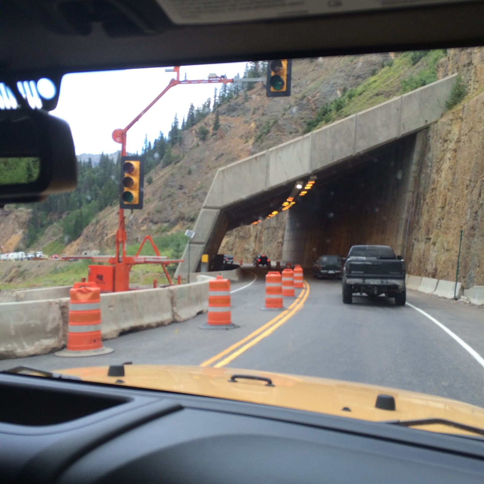
We left Canon City Wednesday late morning and drove through San Isabel National Forest and the beautiful Monarch Pass to Montrose, CO.   Part of the road was one lane only due to road work.  I don't know how he does it....I just stay relaxed and knit.
 
Road Work


Once at the top of Monarch Pass, it's also the Continental Divide.  We stopped here to take a short break and fix sandwiches for lunch.
Drive through Monarch Pass

Drive through Monarch Pass


Drive through Monarch Pass
We ran into a little rain but it stopped by the time we got to our KOA Campground.  We seem to have arrived in Jeep Country as there are 5 Jeeps in a row on our street.  After we got set up, we joined our next door neighbors and two other couples outside for cocktails and conversation.  All of them are experienced Jeep-ers and gave us the low-down on trails in the area.  This group, and a few others, either travel together or meet in various places to go Jeep-ing.  One couple has been here since April and not leaving until mid-September.  Serious Jeep-ers!  Our next door neighbors are also golfers and gave us some local knowledge on golfing in the area.


I just got up to get something to drink and HEY YOU, get outta my chair!
 
I took off Thursday morning to explore historic downtown Montrose which is very quaint and loaded with cute shops and restaurants.  My first stop was Tiffany, Etc., a local home décor shop with a large variety of absolutely beautiful things.  Next was CJ's Fly Shop and Yarn Store...yep, that's right, one stop shopping - get your rods, reels and yarn right here.  Very nice man owned the shop and he gave me a "badge" with a waterfall on it and welcomed me to Montrose...I think I like this town.  SheShe Boutique was next door so, why not?  Very nice, over-priced women's clothing, purses and jewelry.  Lastly, I stopped for lunch at Daily Bread Cafe' on the corner then headed home.  
 
Black Canyon NP
George was finishing up work so we went to Black Mountain National Park and drove along the South Rim.  We stopped in the Visitor's Center to get our National Park Passport book stamped and get a map of the park. 
 
NP PASSPORT
 
First stop was Pulpit Rock Overlook where the view was the best....until we got to Painted Wall then we thought that was the best.  Overall, we were pleasantly surprised at the grandness of this park...glad we got to see it.  We walked a lot today and I, of course, got winded as we were at or above 8,000 feet in elevation plus some of the points of interest were either up or down dirt trails.  I'll be so glad when I get my energy back.
 

Painted Wall